Nature Trails
& Hiking
Nature Trails & Hiking
With a favourable climate all year round, the great outdoors of the island is easily accessible, and offers a myriad of opportunities to take a journey through nature, history and culture, thanks to the numerous sign posted paths and nature trails. A total of 22 designated walking trails have been created to highlight the beautiful landscapes and strong Mediterranean character of the island. By walking them, you can see a treasure trove of varied fauna and flora, as well as the remnants of the island’s mining heritage and other interesting monuments.
Whilst some trails are more challenging than others, they are all a delight for the senses especially in the springtime months, when you can experience the sights, sounds and smells of nature in full bloom, and in all its vibrant glory.
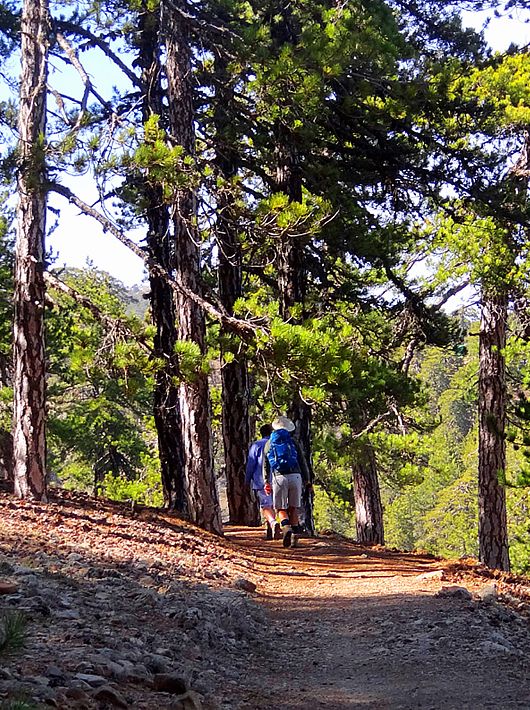
Persephone (Linear)
GPS coordinates of the starting point: Lat: 34.920443 Lon: 32.881202
GPS coordinates of the ending point: Lat: 34.908118 Lon: 32.903485
Altitude of the starting point: 1,733m Altitude of the highest peak: 1,733m
Altitude of the end peak: 1,654m
Persephone (Linear)
GPS coordinates of the starting point: Lat: 34.920443 Lon: 32.881202
GPS coordinates of the ending point: Lat: 34.908118 Lon: 32.903485
Altitude of the starting point: 1,733m Altitude of the highest peak: 1,733m
Altitude of the end peak: 1,654m
Starting point: 150m south of Troodos Square, in the direction of the police station.
Length: 3km
Estimated duration: 1 hour
Degree of difficulty: 1
Flora: While hiking you can study the endemic plants: Golden oak (Quercus alnifolia), Cyprus Skullcap (Scutellaria cypria subsp. cypria), Troodos catmint (Nepeta troodi), Cyprus Germander (Teucrium cyprium subsp. cyprium), Manouthkia (Pterocephalus multiflorus subsp. multiflorus – an evergreen small shrub with palenpink flowers), Troodos sage (Salvia willeana).
Fauna: The main species of fauna found in the area are:
Mammals: Fox, hare, hedgehog.
Birds: Bonelli’s eagle, Eurasian jay, Wood pigeon, Partridge, Cyprus warbler (endemic), Cyprus wheatear (endemic).
Reptiles: Cyprus viper, Cyprus snake (endemic).

Kalidonia – Waterfalls (Linear)
GPS coordinates of the starting point: Lat: 34.914670 Lon: 32.870569
GPS coordinates of the ending point: Lat: 34.895785 Lon: 32.868541
Altitude of the starting point: 1,571m
Altitude of the highest peak: 1,571m
Altitude of the end peak: 1,238m
Kalidonia – Waterfalls (Linear)
GPS coordinates of the starting point: Lat: 34.914670 Lon: 32.870569
GPS coordinates of the ending point: Lat: 34.895785 Lon: 32.868541
Altitude of the starting point: 1,571m
Altitude of the highest peak: 1,571m
Altitude of the end peak: 1,238m
Length: 3km
Estimated duration: 1.5 hour
Degree of difficulty: 3
Points of interest: From the starting point (a) the trail passes through a dense forest and then runs alongside the Cold River (Krios Potamos), which has running water all year round. It then passes by the Kalidonia Waterfall and finishes at the Psilodentro in Pano Platres. The trail is located within the Troodos National Forest Park. In Troodos Square you will find the Environmental Information Centre for the Troodos National Forest Park.
Flora: While hiking you can study the endemic plants: Troodos sage (Salvia willeana), Purple Rock Cress (Arabis purpurea), Thorny gorse (Genista fasselata subsp. crudelis), Urse mint (Mentha longifolia subsp. cyprica), Aphrodite’s spurge (Euphorbia veneris), Golden oak (Quercus alnifolia).
Fauna: The main species of fauna found in the area are:
Mammals: Fox, hare, hedgehog.
Birds: Bonelli’s eagle, Eurasian jay, Wood pigeon, partridge, Cyprus warbler (endemic), Cyprus wheatear (endemic).
Reptiles: Cyprus viper, Cyprus snake (endemic).

Dam Prodromou – Stavroulia (Linear)
GPS coordinates of the starting point: Lat: 34.947845 Lon: 32.847256
GPS coordinates of the ending point: Lat: 34.971462 Lon: 32.862341
Altitude of the starting point: 1,592m
Altitude of the highest peak: 1,592m
Altitude of the end peak: 1,262m
Dam Prodromou – Stavroulia (Linear)
GPS coordinates of the starting point: Lat: 34.947845 Lon: 32.847256
GPS coordinates of the ending point: Lat: 34.971462 Lon: 32.862341
Altitude of the starting point: 1,592m
Altitude of the highest peak: 1,592m
Altitude of the end peak: 1,262m
Starting point: Troodos Square Prodromos main road, a little bit above the Prodromos dam, at an 8km distance from Troodos Square and a 3km distance from Prodromos. There are two options for the finishing point, both on the Prodromos – Agios Nikolaos road.
Length: (a) 4.5km / (b) 5.5km
Estimated duration: 1.5 – 2 hours
Degree of difficulty: 3 (very sudden downhill)
Points of interest: The trail offers a wonderful view of Morfou Bay and the Troodos mountain range, and a panoramic view of the abandoned chrome mining tunnels. The trail passes through an incredibly dense black pine forest and is located within the Troodos National Forest Park. On the west side of the dam there is a picnic site ‘Fragma Prodromou’ and the ‘Marathos’ picnic site is found on the Agios Nikolaos – Prodromos road.
Flora: While hiking you can study the endemic plants: Troodos catmint (Nepeta troodi), Cyprus germander (Teucrium cyprium subsp. cyprium), Troodos Alison (Alyssum troodi).
Fauna: The main species of fauna found in the area are:
Mammals: Fox, hare, hedgehog. Birds: Bonelli’s eagle, Eurasian jay, Wood pigeon, partridge, Cyprus warbler (endemic), Cyprus wheatear (endemic).
Reptiles: Cyprus viper, Cyprus snake (endemic).
Teisia tis Madaris (Circular)
GPS coordinates of the starting point: Lat: 34.951404 Lon: 32.999168
GPS coordinates of the ending point: Lat: 34.951404 Lon: 32.999168
Altitude of the starting point: 1,582m
Altitude of the highest peak: 1,582m
Altitude of the end peak: 1,582m
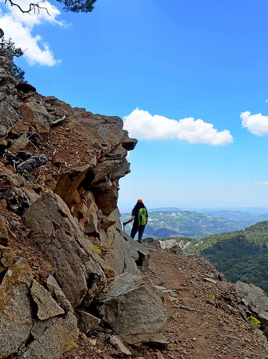
Teisia tis Madaris (Circular)
GPS coordinates of the starting point: Lat: 34.951404 Lon: 32.999168
GPS coordinates of the ending point: Lat: 34.951404 Lon: 32.999168
Altitude of the starting point: 1,582m
Altitude of the highest peak: 1,582m
Altitude of the end peak: 1,582m
Starting point: Close to the Madari fire lookout tower, near the ending point of the Doxa soi o Theos – Madari trail.
Length: 3km
Estimated duration: 1.5 hour
Degree of difficulty: 3
Points of interest: There are tall, impressive cliffs along the trail, as well as areas of geological interest. You will also encounter beautiful views of the Mesaoria Plain and Morfou Bay. The trail connects with the Madari – Doxa soi o Theos trail and the Madari – Selladi tou Karamanli trail. The path is at an altitude of 1,600 metres. At the highest point of Adelfoi mountain (1,613 metres), you will find the Madari fire lookout tower.
Flora: While hiking you can study the endemic plants: Troodos rose (Rosa chionistrae), Troodos catmint (Nepeta troodi), Star of Bethlehem (Ornithogalum chionophilum), Chamomile (Anthemis plutonia), ‘Manouthkia’ (Pterocephalus multiflorus subsp. multiflorus – an evergreen small shrub with pale pink flowers), Golden oak (Quercus alnifolia), Cedar (Cedrus brevifolia), Cyprus crocus (Crocus cyprius), Thyme (Thymus integer).
Fauna: The main species of fauna found in the area are:
Mammals: Fox, hare, hedgehog.
Birds: Bonelli’s eagle, Eurasian jay, Wood pigeon, partridge, Cyprus warbler (endemic), Cyprus wheatear (endemic).
Reptiles: Cyprus viper, Cyprus lizard, Black whip snake.

Millomeris Waterfalls (Linear)
GPS coordinates of the starting point: Lat: 34.8862244 Lon: 32.8638696
GPS coordinates of the ending point: Lat: 34.8837971 Lon: 32.8665134
Altitude of the starting point: 1,060m
Altitude of the highest peak: 1,060m
Altitude of the end peak: 990m
Millomeris Waterfalls (Linear)
GPS coordinates of the starting point: Lat: 34.8862244 Lon: 32.8638696
GPS coordinates of the ending point: Lat: 34.8837971 Lon: 32.8665134
Altitude of the starting point: 1,060m
Altitude of the highest peak: 1,060m
Altitude of the end peak: 990m
Starting point: Between the Platres church and the centre of the village, closer to the church. The ending point has access to the waterfall by car, dirt roads which start at a point in the main road of Platres – Limassol about one kilometer after the psilo dentro reasturant (talltree)
Length: 2 km
Estimated duration: 0.5 hour
Degree of difficulty: 3
Points of interest: The nature trail leads to the Millomeri Waterfall through rick vegetation. The first part of the trail follows a parallel course of the Kryos River. The second part of the trail leads to an open mountain with splendid view towards the south. The water of millomeri falls from a height of 15 metres and is one of the highest natural waterfalls on the island. According to tradition, the fall took its name from the words, “millos” and which means moist and the word and “meros” and which means area.
Flora: While hiking you can study the edemic plants: Troodos sage (salvia willeana ), purple rock Cress (arabis purpurea) Thorny gorse (Genista fasselata subsp.crudelis) urse mint (mentha longifolias ubsp.cyprica) Aphrodite’s spurge (Euphorbia veneris , Golden oak (Quercus anifolia).
Fauna: The main species of fauna found in the area are:
Mammals: Fox, hare, hedgehog.
Birds: Bonelli’s eagle, Eyrasian jay, wood pigeon, patridge, cyprus warbler (endemic), Cyprus whetatear (endemic).
Reptiles: Cyprus viper, Cyprus snake (endemic).

Artemis (Circular)
GPS coordinates of the starting point: Lat: 34.933166 Lon: 32.871986
GPS coordinates of the ending point: Lat: 34.933221 Lon: 32.871964
Altitude of the starting point: 1,835m
Altitude of the highest peak: 1,850m
Altitude of the end peak: 1,835m
Artemis (Circular)
GPS coordinates of the starting point: Lat: 34.933166 Lon: 32.871986
GPS coordinates of the ending point: Lat: 34.933221 Lon: 32.871964
Altitude of the starting point: 1,835m
Altitude of the highest peak: 1,850m
Altitude of the end peak: 1,835m
Starting point: 300m from where the Chionistra road meets the Troodos – Prodromos road.
Length: 7km
Estimated duration: 2.5 – 3 hours
Degree of difficulty: 1
Points of interest: The trail passes through the black pine forest where you will also encounter rare species of flora and rock formations of the area. You can find two perennial black pine trees (Pinus nigra subsp. pallasiana) that are around 500 years old. Of historic interest are ‘The teishia tis palaias choras’ ruins of makeshift fortifications built in the last years of the Venetian occupation of Cyprus (1571 AD) by a group of Venetian generals attempting to defend themselves against the Ottomans. The route circles around the top of Mount Olympos (Chionistra) at an altitude of 1,850 metres, offering an excellent view in all directions. The trail is located within the Troodos National Forest Park and you will find the Environmental Information Centre for the Troodos National Forest Park at a distance of 2.2km from the trail.
Flora: While hiking you can study the endemic plants: Cyprus Skullcap (Scutellaria cypria subsp. cypria), Spurge (Euphorbia cassia subsp. rigoi), Cyprus germander (Teucrium cyprium subsp. cyprium), Troodos sage (Salvia willeana), Pondikangathos (common subshrub) (Astragalus echinus subsp. chionistrae).
Fauna: The main species of fauna found in the area are:
Mammals: Fox, hare, hedgehog. Birds: Bonelli’s eagle, Eurasian jay, Wood pigeon, partridge, Cyprus warbler (endemic), Cyprus wheatear (endemic).
Reptiles: Cyprus viper, Cyprus snake (endemic).
Kannoures – Agios Nikolaos (Linear)
GPS coordinates of the starting point: Lat: 34.931739 Lon: 32.887044
GPS coordinates of the ending point: Lat: 34.977789 Lon: 32.885425
Altitude of the starting point: 1,654m
Altitude of the highest peak: 1,654m
Altitude of the end peak: 872m
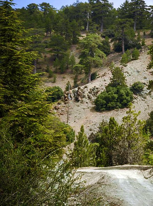
Kannoures – Agios Nikolaos (Linear)
GPS coordinates of the starting point: Lat: 34.931739 Lon: 32.887044
GPS coordinates of the ending point: Lat: 34.977789 Lon: 32.885425
Altitude of the starting point: 1,654m
Altitude of the highest peak: 1,654m
Altitude of the end peak: 872m
Starting point: The main road of Karvounas Troodos Square, 1km before Troodos, 9.5km from Karvounas. The trail can either end at the Agios Nikolaos tis Stegis Church or continue until Kakopetria Village.
Length: 9km (12km until Kakopetria)
Estimated duration: 3 hours (4 hours until Kakopetria)
Degree of difficulty: 3 (quite a difficult downhill route)
Points of interest: The trail begins at the source of the Karkotis River and crosses through the river’s beautiful valley, passing near the closed chrome mine and ending in Kakopetria. On the way, you can visit the Agios Nikolaos tis Stegis church (12th century) that boasts exquisite frescoes; it is also a UNESCO World Heritage site. From the church, if you follow the Pedoulas – Kakopetria road for about three kilometres, you will end up in Kakopetria. The trail is located within the Troodos National Forest Park.
Flora: While hiking you can study the endemic plants: Shrubby knapweed (Ptilostemon chamaepeuce var. cyprius), Golden oak (Quercus alnifolia), Purple Rock Cress (Arabis purpurea), ‘Manouthkia’ (Pterocephalus multiflorus subsp. multiflorus – an evergreen small shrub with pale pink flowers), Thyme (Thymus integer). Fauna: The main species of fauna found in the area are:
Mammals: Fox, hare, hedgehog.
Birds: Bonelli’s eagle, Eurasian jay, Wood pigeon, partridge, Cyprus warbler (endemic), Cyprus wheatear (endemic).
Reptiles: Cyprus viper, Cyprus lizard, Black whip snake, Montpellier snake.

Doxa Soi o Theos – Pyrofylakio Madaris (Linear)
GPS coordinates of the starting point: Lat: 34.956223 Lon: 32.963155
GPS coordinates of the ending point: Lat: 34.956147 Lon: 32.995126
Altitude of the starting point: 1,338m
Altitude of the highest peak: 1,609m
Altitude of the end peak: 1,582m
Doxa Soi o Theos – Pyrofylakio Madaris (Linear)
GPS coordinates of the starting point: Lat: 34.956223 Lon: 32.963155
GPS coordinates of the ending point: Lat: 34.956147 Lon: 32.995126
Altitude of the starting point: 1,338m
Altitude of the highest peak: 1,609m
Altitude of the end peak: 1,582m
Starting point: (a) At Doxa soi o Theos, 2km from Kyperounta and 5km from Spilia, on the Kyperounta – Spilia road. (b) At the Madari fire lookout tower.
Length: 3.8km
Estimated duration: 2 hours
Degree of difficulty: 3
Points of interest: There are panoramic views in all directions when you reach an altitude of around 1,400-1,600m along the Madari ridge. The path ends close to the top of Adelfoi mountain (1,613 metres). The walk offers the opportunity to climb up the Madari fire lookout tower, which overlooks the area. The trail connects with other nature trails in the area, such as: the Madari Selladi tou Karamanli path, Teisia tis Madaris and the Doxa soi o Theos Moutti tis Choras path. There is a fountain with drinking water at starting point (a).
Flora: While hiking you can study the endemic plants: Shrubby knapweed (Ptilostemon chamaepeuce var. cyprius), Golden oak (Quercus alnifolia), Purple Rock Cress (Arabis purpurea), ‘Manouthkia’ (Pterocephalus multiflorus subsp. multiflorus – an evergreen small shrub with pale pink flowers), Cyprus skullcap (Scutellaria cypria subsp. cypria), Thyme (Thymus integer).
Fauna: The main species of fauna found in the area are:
Mammals: Fox, hare, hedgehog. Birds: Bonelli’s eagle, Eurasian jay, Wood pigeon, partridge, Cyprus warbler (endemic), Cyprus wheatear (endemic).
Reptiles: Cyprus viper, Cyprus lizard, Black whip snake.

Enetika Gefyria (Venetian Bridges) (Linear)
GPS coordinates of the starting point: Lat: 34.9275979 Lon: 32.7843550
GPS coordinates of the ending point: Lat: 34.8896211 Lon: 32.6593789
Altitude of the starting point: 765m Altitude of the highest peak: 765m
Altitude of the end peak: 538m
Enetika Gefyria (Venetian Bridges) (Linear)
GPS coordinates of the starting point: Lat: 34.9275979 Lon: 32.7843550
GPS coordinates of the ending point: Lat: 34.8896211 Lon: 32.6593789
Altitude of the starting point: 765m Altitude of the highest peak: 765m
Altitude of the end peak: 538m
Starting point: (a) Kaminaria village (b) Vretsia village
Length: 17 km
Estimated duration: 6 hours In between distances / hours: Kaminaria – Gefyri tis Elias: 3,2 kilometres -1 hour walking Gefyri tis Elias – Gefyri tou Tzielefou: 3,9 km – 2 hours walking Gefyri tou Tzielefou – Gefyri tou Roudia: 6.9km – 2hours walking Gefyri tou Roudia – Vretsia : 3km – 1 hour walking
Degree of difficulty: 3
Points of interest: The medieval bridges of Elia, Tzielefos, and Roydia. The view all along the way is panoramic. It goes through dense pine forest, over Arminou dam, past Pera Vasa picnic site (a huge dry tree trunk of the Pera Vasa pine is exhibited here), and continues through “Saouris” farm belonging to Kykkos monastery, past the Cave of Saouris, “Mita´s pen and near the vultures” observation point.
Flora: While hiking you can study the endemic plants storax (styrax officinalis), cyprus woodruff (asperula cypria), cyprius ptilostemon (ptilostemon chamaepeuce var), wick weed (phlomis cypria var), germander (teucrium kotschyanum), thyme (thymus integer),cyprus germander (teucrium cyprium).
Fauna: The main species of fauna found in the area are:
Mammals: Muflons,hare,fox,hedgehog.
Birds: Wood pigeon, Eurasia jay, partridge, Cyprus warbler (endemic),Cyprus wheatear (endemic).
Reptiles: Cyprus viper, Cyprus lizard, black whip snake.
Atalanti (Circular)
GPS coordinates of the starting point: Lat: 34.924239 Lon: 32.880879
GPS coordinates of the ending point: Lat: 34.924275 Lon: 32.880956
Altitude of the starting point: 1,725m
Altitude of the highest peak: 1,830m Altitude of the end peak: 1,748m
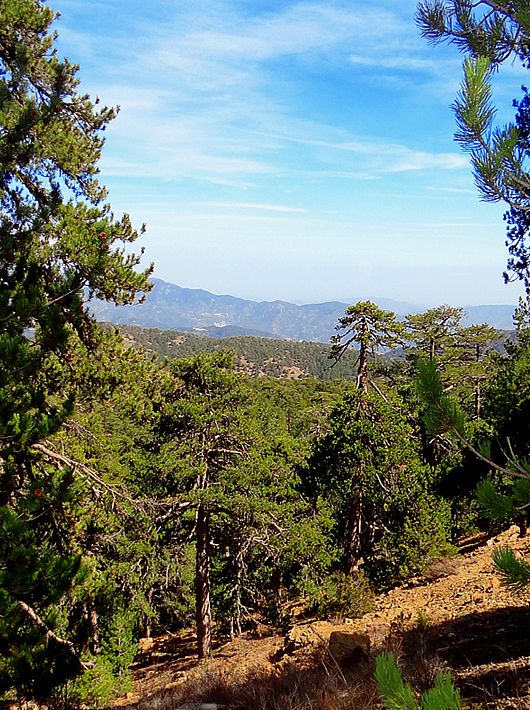
Atalanti (Circular)
GPS coordinates of the starting point: Lat: 34.924239 Lon: 32.880879
GPS coordinates of the ending point: Lat: 34.924275 Lon: 32.880956
Altitude of the starting point: 1,725m
Altitude of the highest peak: 1,830m Altitude of the end peak: 1,748m
Starting point: Troodos Square.
Length: 14km
Estimated duration: 4 – 5 hours
Degree of difficulty: 2
Points of interest: The trail goes around Chionistra mountain at an altitude of 1,700-1,750 metres, passing through dense areas of black pine trees (Pinus nigra subsp.pallasiana) and Foetid Juniper (Juniperus foeditissima). One of the largest trees Foetid Juniper is found on the trail; it is 800 years old. There are wonderful views of all the areas of the island. The entrance tunnel of the chrome mine which has been out of service since 1982 is particularly interesting. The first finishing point of the trail is nine kilometres along the Troodos-Prodromos road. To continue on the trail you must cross the main road and walk on the forest road of Katoikies Chromiou towards Agios Nikolaos tis Stegis church for around 200m, where a wooden sign points your direction; the trail is approximately parallel to the main road and ends at Troodos Square, where you will find the Environmental Info- rmation Centre of Troodos National Forest Park. A fountain with drinking water is located three kilometres from the starting point heading towards Troodos Square.
Flora: While hiking you can study the endemic plants: Golden oak (Quercus alnifolia), Manouthkia (Pterocephalus multiflorus subsp. multiflorus – an evergreen small shrub with pale pink flowers), Urse mint (Mentha longifolia subsp. cyprica), Troodos Alison (Alyssum troodi).
Fauna: The main species of fauna found in the area are:
Mammals: Mouflon, Fox, hare, hedgehog.
Birds: Bonelli’s eagle, Eurasian jay, Wood pigeon, partridge, Cyprus warbler (endemic), Cyprus wheatear (endemic).
Reptiles: Cyprus viper, Cyprus snake (endemic).

Agia Eirini – Limeria (Linear)
GPS coordinates of the starting point: Lat: 34.980599 Lon: 32.968808
GPS coordinates of the ending point: Lat: 34.990647 Lon: 32.950746
Altitude of the starting point: 906m
Altitude of the highest peak: 1,217m
Altitude of the end peak: 1,204m
Agia Eirini – Limeria (Linear)
GPS coordinates of the starting point: Lat: 34.980599 Lon: 32.968808
GPS coordinates of the ending point: Lat: 34.990647 Lon: 32.950746
Altitude of the starting point: 906m
Altitude of the highest peak: 1,217m
Altitude of the end peak: 1,204m
Starting point: Agia Eirini Village.
Length: 5km
Estimated duration: 2.5 hours
Degree of difficulty: 3 (steep uphill route)
Points of interest: The trail passes through a Calabrian pine forest with beautiful view spots of the Bay of Morfou (central west part of Cyprus). At Selladi tis Straorouthkias, the trail joins with the Kourdali – Limeria trail, and both trails share a common route for the next two kilometres. The trail ends at the location of Limeria with its many hideouts that were used during the National liberation anti colonial struggle war of 1955-1959. Some six kilometres north of Agia Eirini Village there is a picnic site: ‘Kapoura’, which is situated next to the Kapoura Forest Station.
Flora: While hiking you can study the endemic plants: Golden oak (Quercus alnifolia), Thyme (Thymus integer), ‘Manouthkia’ (Pterocephalus multiflorus subsp. multiflorus – an evergreen small shrub with pale pink flowers), Cyprus skullcap (Scutellaria cypria subsp. cypria).
Fauna: The main species found in the area are:
Mammals: Fox, hare, hedgehog.
Birds: Bonelli’s eagle, Eurasian jay, Wood pigeon, Partridge, Cyprus warbler (endemic), Cyprus wheatear (endemic).
Reptiles: Cyprus viper, Cyprus lizard, Black whip snake.

Panagia tou Araka – Stavros tou Agiasmati (Linear)
GPS coordinates of the starting point: Lat: 34.965616 Lon: 33.006824
GPS coordinates of the ending point: Lat: 34.978989 Lon: 33.045905
Altitude of the starting point: 1,035m
Altitude of the highest peak: 1,164m
Altitude of the end peak: 854m
Panagia tou Araka – Stavros tou Agiasmati (Linear)
GPS coordinates of the starting point: Lat: 34.965616 Lon: 33.006824
GPS coordinates of the ending point: Lat: 34.978989 Lon: 33.045905
Altitude of the starting point: 1,035m
Altitude of the highest peak: 1,164m
Altitude of the end peak: 854m
Starting point: (a) Panagia tou Araka, Lagoudera (b) Stavros tou Agiasmati (8km from Platanistasa).
Length: 7km
Estimated duration: 3 hours
Degree of difficulty: 3
Points of interest: Of particular interest on this route are the churches of Panagia tou Araka (1192 AD) and Stavros tou Agiasmati (1494 AD) which boast outstanding frescoes and are UNESCO World Heritage Sites. The trail passes through a pine forest, vineyards, almond trees and old stone structures. To the east of the trail you will see Kionia peak. To the north you will see the Morfou plain and Pentadaktylos mountain range. To the west, you will see Troodos, and to the south you will see Madari. The trail connects with the Lagoudera or Agros – Madari trail. At the entrance of the Panagia tou Araka church you will find a 700 year old oak tree.
Flora: While hiking you can study the endemic plants: Thyme (Thymus integer), Shrubby knapweed (Ptilostemon chamaepeuce var. cyprius), ‘Manouthkia’ (Pterocephalus multiflorus subsp. multiflorus – an evergreen small shrub with pale pink flowers), Cyprus skullcap (Scutellaria cypria subsp. cypria).
Fauna: The main species of fauna found in the area are:
Mammals: Fox, hare, hedgehog.
Birds: Bonelli’s eagle, Wood pigeon, partridge, Cyprus warbler (endemic), Cyprus wheatear (endemic).
Reptiles: Cyprus viper, Cyprus lizard, Cyprus chameleon, Black whip snake.

Psilo Dendro (Tall Tree) – Pouziaris (Circular)
GPS coordinates of the starting point: Lat: 34.895957 Lon: 32.869154
GPS coordinates of the ending point: Lat: 34.920633 Lon: 32.881826
Altitude of the starting point: 1,178m
Altitude of the highest peak: 1,718m
Altitude of the end peak: 1,178m
Psilo Dendro (Tall Tree) – Pouziaris (Circular)
GPS coordinates of the starting point: Lat: 34.895957 Lon: 32.869154
GPS coordinates of the ending point: Lat: 34.920633 Lon: 32.881826
Altitude of the starting point: 1,178m
Altitude of the highest peak: 1,718m
Altitude of the end peak: 1,178m
Starting point: The crossing point of the forest road Platres – Mesa Potamos with the tourist road Moniatis – Platres – Troodos, close to the Psilodentro (Tall Tree).
Length: 9km
Estimated duration: 3 – 4 hours
Degree of difficulty: 3 (very challenging due to the uphill and downhill areas of the route)
Points of interest: For the first kilometre, the path passes through dense clusters of Calabrian pine trees, whilst on the third kilometre at the points with a higher altitude it passes through an impressive and dense black pine forest (Pinus nigra subsp.pallasiana). At points along the trail you will experience panoramic views. The path is located within the National Forest Park of Troodos.
Flora: While hiking you can study the endemic plants: Golden oak (Quercus alnifolia), Purple Rock Cress (Arabis purpurea), Manouthkia (Pterocephalus multiflorus subsp. multiflorus – an evergreen small shrub with pale pink flowers), Cyprus Skullcap (Scutellaria cypria subsp. cypria), Troodos Sage (Salvia willeana).
Fauna: The main species of fauna found in the area are:
Mammals: Fox, hare, hedgehog.
Birds: Bonelli’s eagle, Eurasian jay, Wood pigeon, partridge, Cyprus warbler (endemic), Cyprus wheatear (endemic).
Reptiles: Cyprus viper, Cyprus snake (endemic), Cyprus lizard.
Prodromos – Zoumi (Linear)
GPS coordinates of the starting point: Lat: 34.952183 Lon: 32.833700
GPS coordinates of the ending point: Lat: 34.963214 Lon: 32.849812
Altitude of the starting point: 1,499m
Altitude of the highest peak: 1,475m
Altitude of the end peak: 1,314m
Prodromos – Zoumi (Linear)
GPS coordinates of the starting point: Lat: 34.952183 Lon: 32.833700
GPS coordinates of the ending point: Lat: 34.963214 Lon: 32.849812
Altitude of the starting point: 1,499m
Altitude of the highest peak: 1,475m
Altitude of the end peak: 1,314m
Starting point: The children’s play area in Prodromos.
Length: 3km
Estimated duration: 1 – 1.5 hour
Degree of difficulty: 2
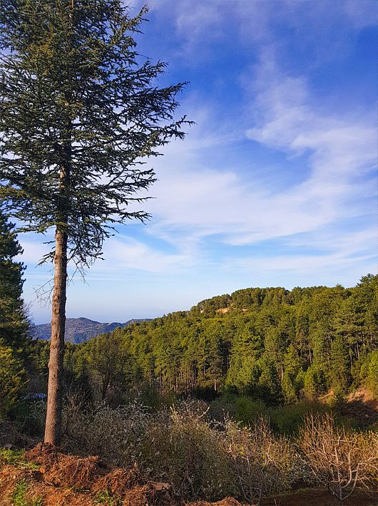
Points of interest: The trail passes through rows of Black Pine trees (Pinus nigra subsp. pallasiana). At various points along the trail there are panoramic views of the Marathasa valley, Morfou Bay, Kykkos Monastery, Tripylos and Vouni Panagias. At Zoumi, the path joins with the Fragma Prodromou – Stavroulia nature trail. The path can also be circular if the walker chooses the Prodromos – Troodos road, with an extra distance of 2.7 kilometres. The trail is located within the Troodos National Forest Park.
Flora: While hiking you can study the endemic plants: Manouthkia (Pterocephalus multiflorus subsp. multiflorus – an evergreen small shrub with pale pink flowers), Troodos sage (Salvia willeana), Cyprus Germander (Teucrium cyprium subsp. cyprium).
Fauna: The main species of fauna found in the area are:
Mammals: Fox, hare, hedgehog.
Birds: Bonelli’s eagle, Eurasian jay, Wood pigeon, partridge, Cyprus warbler (endemic), Cyprus wheatear (endemic).
Reptiles: Cyprus viper, Montpellier snake.
Loumata ton Aeton (Linear)
GPS coordinates of the starting point: Lat: 34.9153737 Lon: 32.9320265
GPS coordinates of the ending point: Lat: 34.920130 Lon: 32.931465
Altitude of the starting point: 1,106m
Altitude of the highest peak: 1,106m
Altitude of the end peak: 1,012m
Loumata ton Aeton (Linear)
GPS coordinates of the starting point: Lat: 34.9153737 Lon: 32.9320265
GPS coordinates of the ending point: Lat: 34.920130 Lon: 32.931465
Altitude of the starting point: 1,106m
Altitude of the highest peak: 1,106m
Altitude of the end peak: 1,012m
Starting point: The main road between Kato Amiantos village and SEK.
Length: 2.5km
Estimated duration: 1 hour
Degree of difficulty: 2
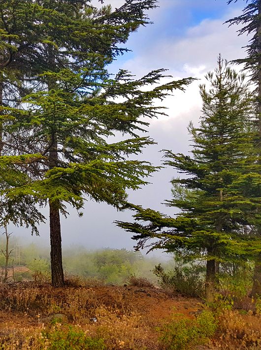
Points of interest: The trail runs through a beautiful hillside and along the riverbank with lush vegetation, ending at Amiantos Park. It also passes the restored hideout of the EOKA fighters and the stream Loumata ton Aeton. From linear, the trail becomes circular by following the roads through the village towards the summer camping siten of S.E.K Trade Union Confederation. The trail is located within the Troodos National Forest Park.
Flora: While hiking you can study the indigenous plants: terebinth (Pistacia terebinthus), storax (Styrax officinalis), strawberry tree (Arbutus adrachnae), laurel (Laurus nobilis), myrtle (Myrtus communis), barberry (Berberis cretica), oleander (Nerium oleander), honeysuckle (Lonicera etrusca), the common smilax (Smilax aspera), sage (Salvia fruticosa) and the endemic golden oak (Quercus alnifolia).
Fauna: The main species of fauna found in the area are:
Mammals: Fox, hare, hedgehog.
Birds: Bonelli’s eagle, Eurasian jay, Wood pigeon, partridge, Cyprus warbler (endemic), Cyprus wheatear (endemic).
Reptiles: Cyprus viper, Cyprus lizard, Black whip snake, Montpellier snake.
Livadi (Circular)
GPS coordinates of the starting point: Lat: 34.938829 Lon: 32.889990
GPS coordinates of the ending point: Lat: 34.938829 Lon: 32.889990
Altitude of the starting point: 1,711m
Altitude of the highest peak: 1,711m
Altitude of the end peak: 1,711m
Livadi (Circular)
GPS coordinates of the starting point: Lat: 34.938829 Lon: 32.889990
GPS coordinates of the ending point: Lat: 34.938829 Lon: 32.889990
Altitude of the starting point: 1,711m
Altitude of the highest peak: 1,711m
Altitude of the end peak: 1,711m
Starting point: On the narrow asphalted road that leads to Kampos tou Livadiou picnic site.
Length: 1.5km
Estimated duration: 30 minutes
Degree of difficulty: 1 (wheelchair accessible)
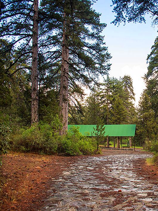
Points of interest: The Livadi Trail, which is wheelchair accessible, is located within Troodos National Forest Park – a Natura 2000 area. The course takes you through a black pine and foetid juniper forest, where you will have the chance to admire some century old trees. A viewpoint, where you can see Chromium River and Solea Valley, is available on the route. To complete the trail, turn back at the viewpoint and follow the same route for about 100 metres, then take the route on the right, as indicated by the sign. Tree loggings have not taken place in these forests since 1972, since the principal management objective for this forest area is the conservation of biodiversity, water resources and the landscape. ‘Kampos tou Livadiou’ picnic site has drinking water. The Troodos Visitor Centre, which holds information on the Troodos mountain range, its flora and its fauna, is located In Troodos Square.
Flora: While hiking you can study the endemic plants: Troodos vipergrass (Scorzonera troodea), Troodos spurge (Euphorbia cassia subsp. rigoi), golden oak (Quercus alnifolia), and the indigenous barberry (Berberis cretica), white beam (Sorbus aria ssp.cretica) and bracken (Pteridium aquilinum).
Fauna: The main species of fauna found in the area are:
Mammals: Fox, hare, hedgehog.
Birds: Bonellis’eagle, Eurasian jay, wood pigeon, partridge, cyprus warbler (endemic) cyprus wheatear (endemic).
Reptiles: Cyprus viper, Cyprus lizard, black whip snake, Montpellier snake.
Kionia – Profitis Ilias (Linear)
GPS coordinates of the starting point: Lat: 34.920214 Lon: 33.197602
GPS coordinates of the ending point: Lat: 34.933480 Lon: 33.246317
Altitude of the starting point: 1,251m
Altitude of the highest peak: 1,251m
Altitude of the end peak: 677m
Kionia – Profitis Ilias (Linear)
GPS coordinates of the starting point: Lat: 34.920214 Lon: 33.197602
GPS coordinates of the ending point: Lat: 34.933480 Lon: 33.246317
Altitude of the starting point: 1,251m
Altitude of the highest peak: 1,251m
Altitude of the end peak: 677m
Starting point: Kionia picnic site. There are two access points to the trail – one from the Machairas monastery road that leads to Kionia, and the other from the Vavatsinia to Machairas road.
Length: 7km
Estimated duration: 2.5 hours
Degree of difficulty: 3 (steep downhill path, especially towards the end)
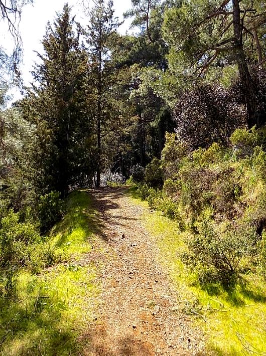
Points of interest: The trail starts at the Kionia picnic site, where you can find a fountain with drinking water, and runs through a forest section where it affords great views of the Mesaoria plain, which belongs to the Machairas National Forest Park a Natura 2000 site. There is a perennial strawberry tree on the trail, whilst the picnic site boasts perennial pine and arar trees. The trail ends at the Profitis Ilias picnic site, approximately eight kilometres from Lythrodontas and six kilometres from Mandra tou Kambiou, via dirt roads.
Flora: While hiking you can study the endemic plants: Shrubby knapweed (Ptilostemon chamaepeuce var. cyprius), Golden oak (Quercus alnifolia), Purple Rock Cress (Arabis purpurea), ‘Manouthkia’ (Pterocephalus multiflorus subsp. multiflorus – an evergreen small shrub with pale pink flowers).
Fauna: The main species of fauna found in the area are:
Mammals: Fox, hare, hedgehog.
Birds: Bonelli’s eagle, Eurasian jay, Wood pigeon, Partridge, Cyprus warbler (endemic), Cyprus wheatear (endemic).
Reptiles: Cyprus viper, Black whip Snake, Cyprus lizard.
Xyliatos (Circular)
GPS coordinates of the starting point: Lat: 35.009318 Lon: 33.036420
GPS coordinates of the ending point: Lat: 35.009318 Lon: 33.036420
Altitude of the starting point: 543m
Altitude of the highest peak: 601m
Altitude of the end peak: 543m
Xyliatos (Circular)
GPS coordinates of the starting point: Lat: 35.009318 Lon: 33.036420
GPS coordinates of the ending point: Lat: 35.009318 Lon: 33.036420
Altitude of the starting point: 543m
Altitude of the highest peak: 601m
Altitude of the end peak: 543m
Starting point: (a) The overflow of the dam, (b) The dam’s picnic site.
Length: 3.8km
Estimated duration: 1 – 1.5 hour
Degree of difficulty: 2
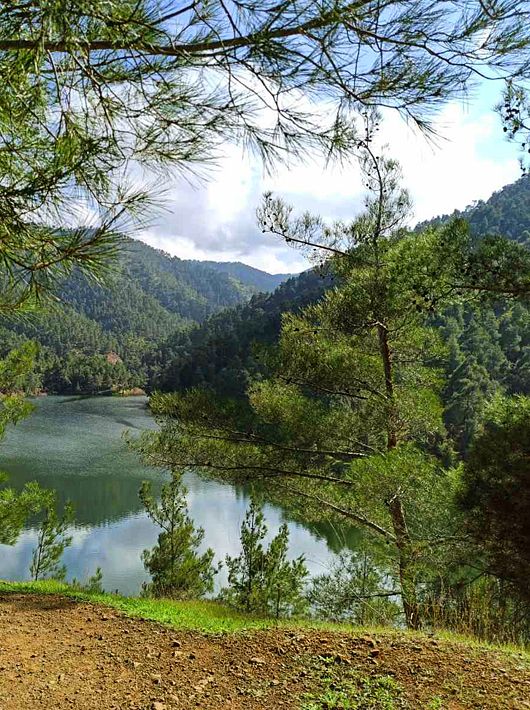
Points of interest: The trail begins at the overflow of the dam and runs alongside the highest water level point of the dam. It then crosses the artificial bridge over the dam. The uphill trail takes you to the Xyliatos – Lagoudera road, which leads you to the starting point if you follow through the dam’s embankment. The trail connects with another 200-metre trail, which starts from the picnic site ‘Fraktis tou Xyliatou’ (Xyliatos Dam) then follows a small section of the Xyliatos – Lagoudera road, joining with the circular path at the dam’s embankment. The dam itself is also of interest. A section of the path passes through a pine forest where you will encounter varieties of the golden oak tree, strawberry tree, myrtle, oriental alder and rockrose.
Flora: While hiking you can study the endemic plants: Shrubby knapweed (Ptilostemon chamaepeuce var. cyprius), Purple Rock Cress (Arabis purpurea), ‘Manouthkia’ (Pterocephalus multiflorus subsp. multiflorus – an evergreen small shrub with pale pink flowers), Cyprus skullcap (Scutellaria cypria subsp. elatior), Thyme (Thymus integer), Wild garlic (Allium willeanum).
Fauna: The main species of fauna found in the area are:
Mammals: Fox, hare, hedgehog.
Birds: Bonelli’s eagle, Wood pigeon, partridge, Cyprus warbler (endemic), Cyprus wheatear (endemic).
Fish: Trout, carp, bass.
Amphibians: Frogs.
Selladi tou Karamanli – Kannavia (Linear)
GPS coordinates of the starting point: Lat: 34.933166 Lon: 32.871986
GPS coordinates of the ending point: Lat: 34.933221 Lon: 32.871964
Altitude of the starting point: 1,835m
Altitude of the highest peak: 1,850m
Altitude of the end peak: 1,835m m
Selladi tou Karamanli – Kannavia (Linear)
GPS coordinates of the starting point: Lat: 34.933166 Lon: 32.871986
GPS coordinates of the ending point: Lat: 34.933221 Lon: 32.871964
Altitude of the starting point: 1,835m
Altitude of the highest peak: 1,850m
Altitude of the end peak: 1,835m
Starting point: 300m from where the Chionistra road meets the Troodos – Prodromos road.
Length: 7km
Estimated duration: 2.5 – 3 hours
Degree of difficulty: 1
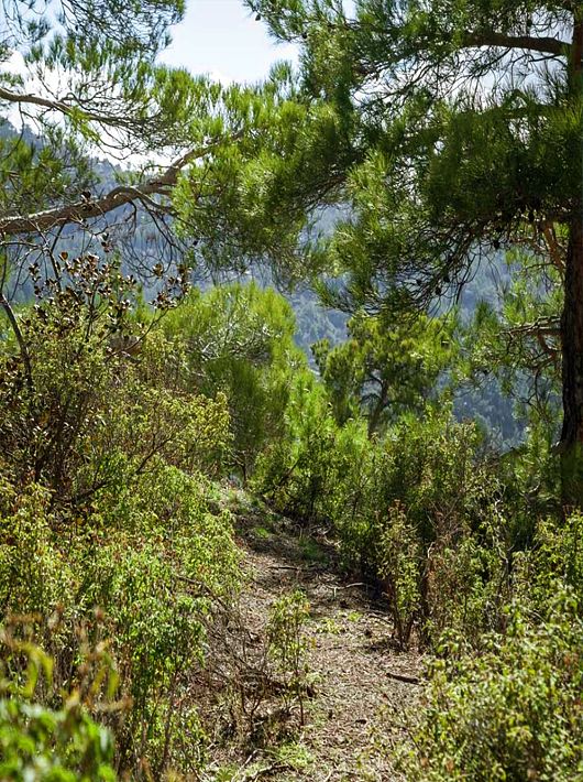
Points of interest: The trail passes through the black pine forest where you will also encounter rare species of flora and rock formations of the area. You can find two perennial black pine trees (Pinus nigra subsp. pallasiana) that are around 500 years old. Of historic interest are ‘The teishia tis palaias choras’ ruins of makeshift fortifications built in the last years of the Venetian occupation of Cyprus (1571 AD) by a group of Venetian generals attempting to defend themselves against the Ottomans. The route circles around the top of Mount Olympos (Chionistra) at an altitude of 1,850 metres, offering an excellent view in all directions. The trail is located within the Troodos National Forest Park and you will find the Environmental Information Centre for the Troodos National Forest Park at a distance of 2.2km from the trail.
Flora: While hiking you can study the endemic plants: Cyprus Skullcap (Scutellaria cypria subsp. cypria), Spurge (Euphorbia cassia subsp. rigoi), Cyprus germander (Teucrium cyprium subsp. cyprium), Troodos sage (Salvia willeana), Pondikangathos (common subshrub) (Astragalus echinus subsp. chionistrae).
Fauna: The main species of fauna found in the area are:
Mammals: Fox, hare, hedgehog.
Birds: Bonelli’s eagle, Eurasian jay, Wood pigeon, partridge, Cyprus warbler (endemic), Cyprus wheatear (endemic).
Reptiles: Cyprus viper, Cyprus snake (endemic).
Madari – Selladi tou Karamanli (Linear)
GPS coordinates of the starting point: Lat: 34.9561891 Lon: 32.9951433
GPS coordinates of the ending point: Lat: 34.9647411 Lon: 32.9879291
Altitude of the starting point: 1,560m
Altitude of the highest peak: 1,560m
Altitude of the end peak: 1,252m
Madari – Selladi tou Karamanli (Linear)
GPS coordinates of the starting point: Lat: 34.9561891 Lon: 32.9951433
GPS coordinates of the ending point: Lat: 34.9647411 Lon: 32.9879291
Altitude of the starting point: 1,560m
Altitude of the highest peak: 1,560m
Altitude of the end peak: 1,252m
Starting point: Near Madari fire lookout station. Vehicular access from the Chandria – Polystypos main road. The final 800m of the access road is on loose surface road, rugged and steep. Ends up at location Selladi tou Karamanli, where there is access towards Saranti village (1.5 km surfaced road) and Spilia village (6 km loose surface road).
Length: 3,5 km
Estimated duration: 1,5 hour
Degree of difficulty: 3
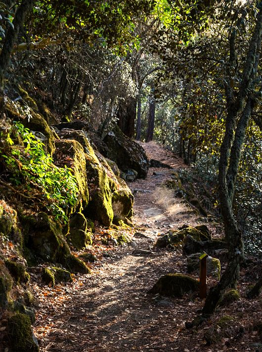
Points of interest: Excellent views towards Morfou Bay, Mesaoria plain and Troodos range. About half way through, the route trails through a cedar forest. It connects with the local area trail network of Madari-Doxa si o Theos, Teichia tis Madaris, Moutti tis Choras-Selladi tou Karamanli and Selladi tou Karamanli-kannavia. Through a surfaced road of 2 km it connects with the Lagoudera-Agros trail.
Flora: Troodos Rose (Rosa chionistrae) The Troodos Cat – mint (nepeta Troodi), the Star of Bethlehem (ornithogalum chionophi- lum), the Plutonian Chamomile (Anthemis plutonia) the Plutonian Chamomile (Anthemis plutonia), the Pterocephalus (Pterocephalus multoforus), the Golden Oak (Quercus alnifolia), the Cyprus Cedar (Cedrus brevifolia), the Cyprus Crocus (Crocus cyprius), Thyme (Thymus iteger), Juniper (juniperus excels), Prickly Juniper (juniperus oxycedrus)
Fauna: The main species of fauna found in the area are:
Mammals: Fox, hare, hedgehog.
Birds: Eurasian jay ,wood pigeon, partridge, cyprus warbler (endemic),Cyprus wheatear (endemic),treecreeper (Certhia brachydactyla dorothea).
Reptiles: Cyprus viper, cyprus lizard, black whip snake.

Chrysovrysi (Linear)
GPS coordinates of the starting point: Lat: 34.929738 Lon: 32.924810
GPS coordinates of the ending point: Lat: 34.927571 Lon: 32.934557
Altitude of the starting point: 1,308m
Altitude of the highest peak: 1,315m
Altitude of the end peak: 1,068m
Chrysovrysi (Linear)
GPS coordinates of the starting point: Lat: 34.929738 Lon: 32.924810
GPS coordinates of the ending point: Lat: 34.927571 Lon: 32.934557
Altitude of the starting point: 1,308m
Altitude of the highest peak: 1,315m
Altitude of the end peak: 1,068m
Starting point: Karvounas – Troodos road, 300 metres from Chrysovrysi Spring.
Length: 1.5km
Estimated duration: 1 hour
Degree of difficulty: 2
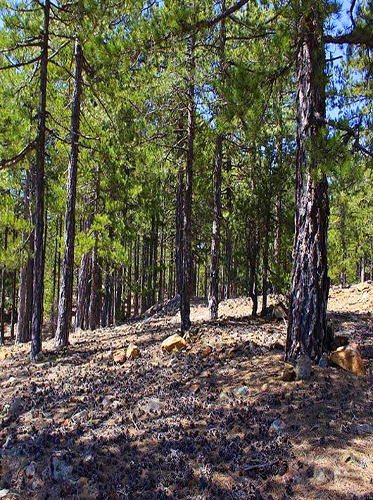
Points of interest: Almost the entire trail is located within the Troodos National Forest Park, which is a Natura 2000 area. The last 300 metres of the trail are on a dirt road that is used by the residents of Amiantos for their agricultural operations. Gabbro rock formations, i.e. ultrabasic plutonic rocks belonging to the Troodos ophiolite complex, prevail along the trail. The route ends up on the Karvounas – Amiantos road, approximately 1.4 kilometres from the village of Amiantos. The A.G. Leventis Botanical Garden of Troodos and the Troodos Geopark Visitor Centre are located within the limits of the asbestos mine.
Flora: While hiking you can study the indigenous plants: plane (Platanus orientalis), Calabrian pine (Pinus brutia), strawberry tree (Arbutus adrachnae), terebinth (Pistacia terebinthus) and the endemic golden oak (Quercus alnifolia).
Fauna: The main species of fauna found in the area are:
Mammals: Fox, hare, hedgehog.
Birds: Bonellis’eagle, Eurasian jay, wood pigeon, partridge, cyprus warbler (endemic) Cyprus wheatear (endemic).
Reptiles: Cyprus viper, Cyprus lizard, black whip snake, Montpellier snake.
Mnimata Ton Piskopon (Linear)
GPS coordinates of the starting point: Lat: 34.940102 Lon: 32.892387
GPS coordinates of the ending point: Lat: 34.975745 Lon: 32.888780
Altitude of the starting point: 1,723m
Altitude of the highest peak: 1,723m
Altitude of the end peak: 828m
Mnimata Ton Piskopon (Linear)
GPS coordinates of the starting point: Lat: 34.940102 Lon: 32.892387
GPS coordinates of the ending point: Lat: 34.975745 Lon: 32.888780
Altitude of the starting point: 1,723m
Altitude of the highest peak: 1,723m
Altitude of the end peak: 828m
Starting point: Along the road that leads to Kampos tou Livadiou picnic site.
Length: 8km
Estimated duration: 3 hours
Degree of difficulty: 3 (smooth path at the beginning and downhill for the rest of the trail)
Points of interest: The trail passes through thickets of black pine and follows a route by the cliff’s edge, with views toward Chromium River, Solea Valley, Morfou Bay and the tip of Chionistra. The rich vegetation at the beginning of the trail, comprised of black pine and foetid juniper, gradually gives way to Calabrian pine at lower altitudes (below 1,400 metres). The whole trail is located within the Troodos National Forest Park, which is a Natura 2000 area. The route ends up on the Platania – Agios Nikolaos tis Stegis forest road. For the first kilometre the route is common with the Kampos tou Livadiou Trail. At the end of the trail you have the choice between three routes that end up at Agios Nikolaos tis Stegis, the village of Kakopetria or Platania Forest Station. ‘Kampos tou Livadiou’ picnic site, situated near the starting point, has potable water.
Flora: While hiking you can study the indigenous plants: white beam (Sorbus aria ssp. cretica), barberry (Berberis cretica), terebinth (Pistacia terebinthus), strawberry tree (Arbutus adrachnae) and the endemic golden oak (Quercus alnifolia).
Fauna: The main species of fauna found in the area are:
Mammals: Fox, hare, hedgehog.
Birds: Bonellis’eagle, Eurasian jay, wood pigeon, partridge, cyprus warbler (endemic) Cyprus wheatear (endemic).
Reptiles: Cyprus viper, Cyprus lizard, black whip snake, Montpellier snake

Kampos tou Leivadiou
GPS coordinates of the starting point: Lat: 34,5633931 Lon: 32,5344829
GPS coordinates of the ending point: Lat: 34,5620681 Lon: 32,5340650
Altitude of the starting point: 1,680m
Altitude of the highest peak: 1,700m
Altitude of the end peak: 1,680m
Kampos tou Leivadiou
GPS coordinates of the starting point: Lat: 34.929738 Lon: 32.924810
GPS coordinates of the ending point: Lat: 34.927571 Lon: 32.934557
Altitude of the starting point: 1,680m
Altitude of the highest peak: 1,700m
Altitude of the end peak: 1,680m
Starting point: The road that leads to Kampos tou Livadiou picnic site.
Length: 2.8km
Estimated duration: 1,5 hour
Degree of difficulty: Medium Deggre of Difficulty
The first 1,000 metres of the trail are common with the Kampos tou Livadiou – Mnimata Piskopon Trail. With its positioning near the edge of a cliff, the trail offers views toward Chromium River, Solea Valley, Morfou Bay and the tip of Chionistra. It is particularly enjoyable as it passes through thickets of black pine and a significant number of century old black pines and junipers. There are also points of geological interest (dunite, harzburgite). The entire trail is located within the Troodos National Forest Park, which is a Natura 2000 area. The picnic site of ‘Kampos tou Livadiou’ has drinking water.
FLORA While hiking you can study the endemic plants: Cyprus skullcap (Scutellaria cypria subsp. cypria), Troodos Alyson (Alyssum troodi), golden oak (Quercus alnifolia), Troodos sage (Salvia willeana) and the indigenous barberry (Berberis cretica) and white beam (Sorbus aria ssp.cretica).